
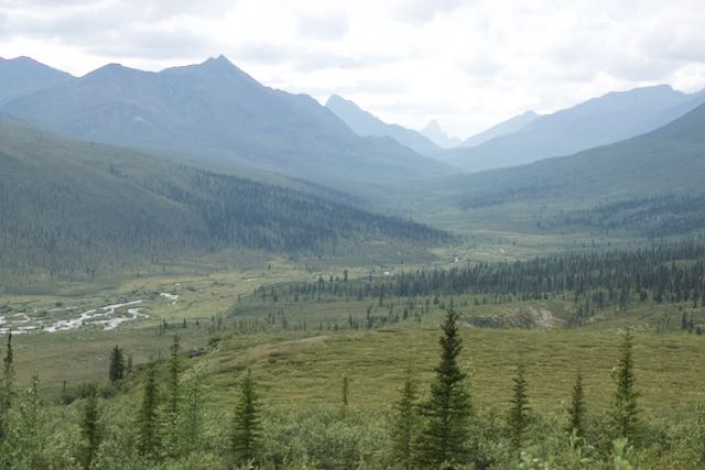
The Dempster Highway is 575 miles of gravel road. While Alaska’s Haul Road was completed specifically to support the oil and gas industry, the Dempster connects towns and hamlets, mostly indigenous communities.
When we began traveling this road in 2010, it ended at Inuvik, a “government town,” supporting the oil and gas industry. After years of promising, in November, 2017, the Canadian government finally opened the road to Tuktoyaktuk, otherwise known as Tuk. This small community sits on the very edge of the Arctic Ocean.
We had planned to begin this Dempster experience with a friend traveling with us during the last week in August, when the chance to see this amazing area covered in all its Autumn glory is greatest. Unfortunately, logistics didn’t come together, and now we find ourselves beginning our journey a full two weeks ahead of schedule.
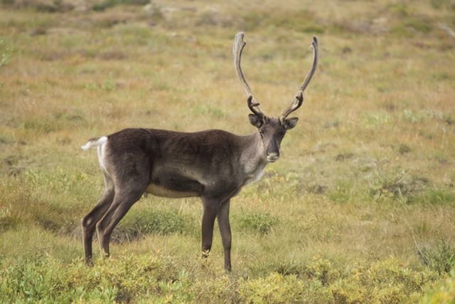
Shortly after entering the park, we came upon a caribou just past the park’s visitor center… we had never seen a caribou here before.
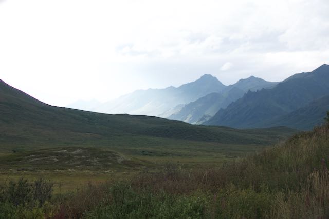
We also stopped at the Tombstone Valley overlook. Although still beautiful, overcast skies clung to the mountain tops, hiding their spectacular peaks. (See top photo.)
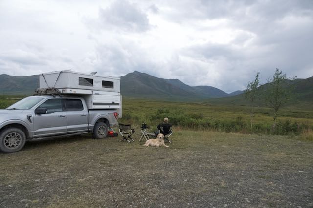
That evening, a young park ranger stopped by our camp to look for a grizzly bear that had downed a caribou high up the mountain face near us. He was such a nice young man and kindly spoke with us for a while about himself and the changes happening on the Dempster.
We had seen a hunter on our way in, apparently hunting from the road. I asked him if they now allowed hunting from the road. He said that yes, the local indigenous Gwichʼin community had recently insisted they be allowed. Others said it wasn’t fair. So the government agreed to allow everyone to hunt from the road, which has resulted in the animals moving deeper into the woods and mountains, making sitings rare. It is a shame, particularly for those of us who hunt with cameras.
As evening closed in around us, the clouds began to gather in earnest. That night, heavy rain pummelled the camper.
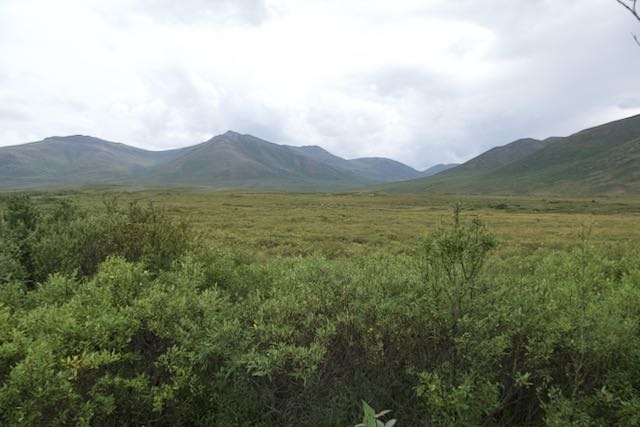
We broke camp and continued our journey. The view from Olgavie Ridge was also hidden with the dense cloud coverage.. We pulled up just shy of Eagle Plaines and camped in an open area not too far off the road. The rain stopped but, unfortunately, we were driven back into the camper by a hoard of nasty, biting gnats. By morning, David’s and my ankles and Sam’s tender belly were covered in itchy welts.
We had breakfast at Eagle Plains, one of only a few refuelling places on the Dempster. We learned that the lady who had managed the restaurant and hotel had recently passed away. Unable to find a new replacement, every thing has been scaled back. There was no longer a menu with a choice of five or six breakfast options. The server offered a choice of eggs, bacon or sausage, skillet potatoes, and “white or brown” bread. In all fairness, only seven people live here year round because it is such a harsh and isolated place.
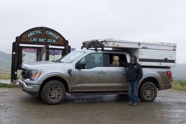
By the time we reached the Arctic Circle, the wind and intermittent rains made our stop very brief.
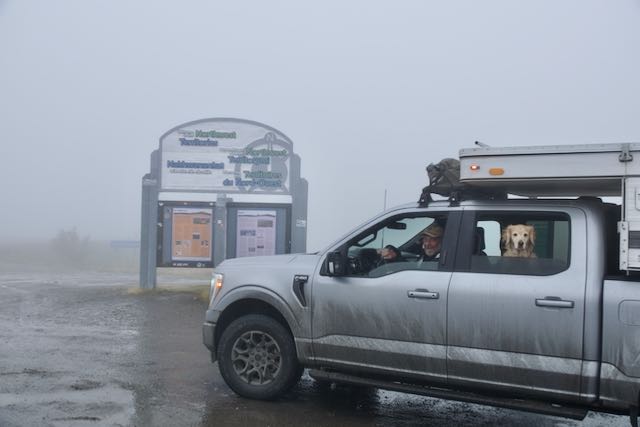
By the time we made the Yukon/Northwest Territory border, we were completely socked in by dense fog, barely able to see more than 20 feet in front of us.
We spent the night at one of our favorite places, Rock River campground, hoping the sky would clear.
By morning, we could see across most of the valley. But even at the Yukon/Northwest Territory border, we saw no animals…. highly unusual. However, several years ago, the gentleman we knew who manned the Fort McPherson visitor center told us that the caribou had arrived in the valley early that year. The elders cautioned the younger men to wait until the caribou had settled in before they began hunting. The youth defied the elders, and the caribou fled, choosing to winter several valleys over. They have remained far from the border ever since, making it harder for everyone to hunt.
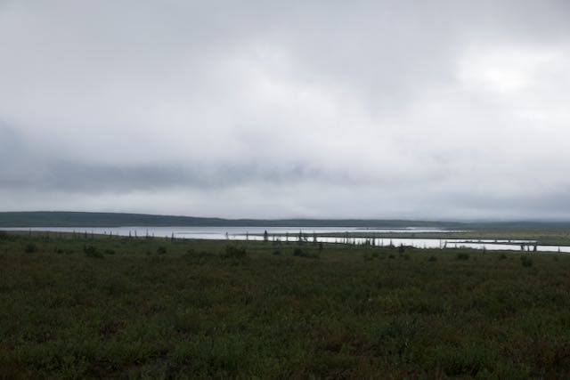
Once past the Yukon/Northwest Territory border, the mountains quickly diminish into the Mackenzie Delta, a terrain filled with marshland and boreal forests.
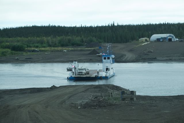
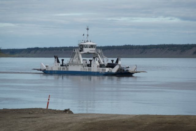
We drove onward and crossed both of the river ferries. The smaller Peal River is serviced by a cable ferry, while the greater Mackenzie River has a self-propelled, free-floating ferry.
On to Inuvik and Jak campground where we can take much welcomed showers. Tomorrow we’ll drive to our most northern destination: the Arctic Ocean and Tuktoyaktuk.


Leave a Reply